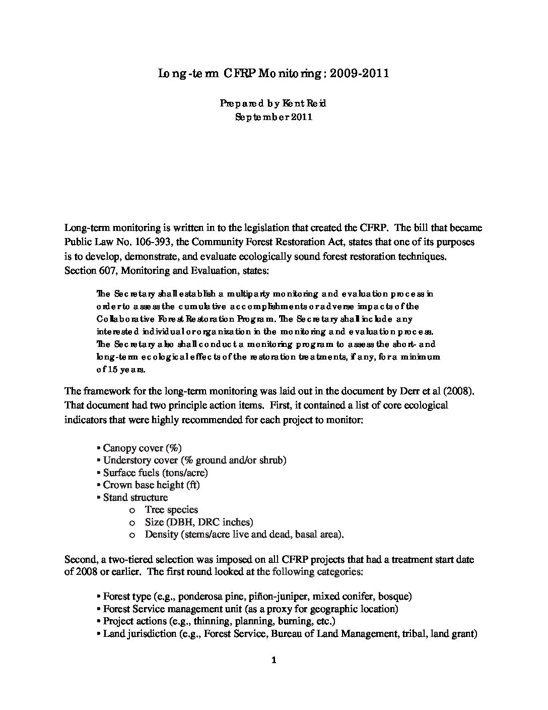
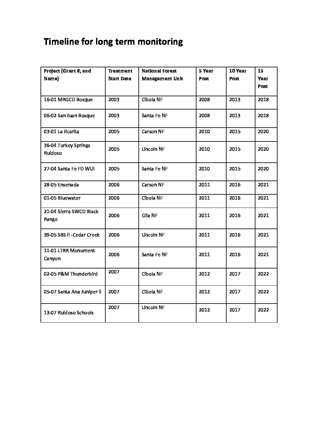
The Community Forest Restoration Act (Title VI, Public Law 106-393), which established the Collaborative Forest Restoration Program (CFRP), calls for monitoring of “the short- and long-term ecological effects of the restoration treatments” for at least 15 years. In 2008, 20 CFRP projects were identified for long-term monitoring. The criteria and methodology used to identify those projects are described in Derr, et. al., Monitoring The Long Term Ecological Impacts Of New Mexico’s Collaborative Forest Restoration Program, New Mexico Forest Restoration Series Working Paper 5.
While the NMFWRI through its federal work plan is responsible for the re-measurement of CFRP long-term monitoring projects, the Institute generally does not collect the baseline (year 0) data for these projects and does not certify the quality of those data. It should be noted that, for some attributes, the standard deviation exceeds the mean (i.e., the coefficient of variation is greater than 100 percent), and sampling errors for some estimates exceed 100 percent. As a result, long-term monitoring data should be used and results interpreted with appropriate caution.
In addition, while the NMFWRI is responsible for long-term monitoring and plot re-measurement at years 5, 10, and 15, it generally does not have responsibility for or authority over data collected during the actual CFRP project (year 0 plot establishment and measurement) and, therefore, cannot vouch for the quality of the original, baseline reference data or the adequacy of sampling intensity and plot location for each long-term CFRP project.
Reports
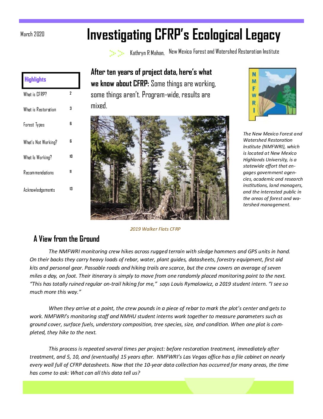
Investigating CFRP’s Ecological Legacy
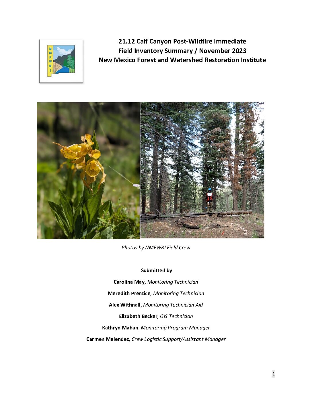
21.12 Calf Canyon, Post-Wildfire Immediate Field Inventory Summary
During June 2014, June 2019, and June 2023, the NMFWRI inventory and monitoring crews measured 9
plots across approximately 89 acres in the Calf Canyon region of the Gallinas watershed in the Pecos-Las
Vegas Ranger District of the Santa Fe National Forest. These plots were established to monitor the CFRP
project 21.12 entitled “Gallinas Watershed Implementation Project” hereafter referred to as “Calf
Canyon CFRP.”
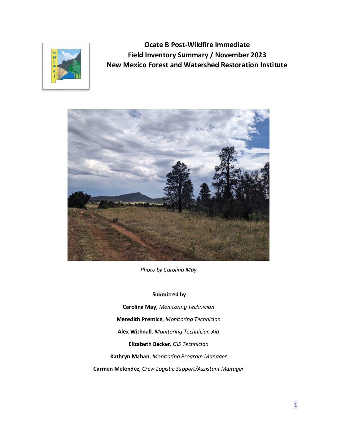
Ocate B Post-Wildfire Immediate Field Inventory Summary
During July 2008, October/November 2010, July 2015, June 2020, and July/August 2023 NMFWRI
inventory and monitoring crews measured 29 plots across approximately 123 acres in the Gallinas Mesa region of the Ocate Creek watershed on State Trust Land. These plots were established to monitor a portion of the CFRP project 29_07 entitled “Ocate Community Protection, Restoration, and Collaborative Management Project” hereafter referred to as “Ocate B CFRP.”

