
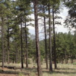
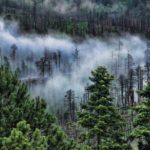
Upland sites, or those above the elevation where flooding generally occurs, have a variety of vegetation types including Piñon-Juniper, Ponderosa Pine, Dry & Wet Mixed Conifer, and Spruce-Fir forests. The New Mexico Forest and Watershed Restoration Institute (NMFWRI) has several thousand acres of long-term monitoring in forest treatments (and some controls) in the uplands of New Mexico. NMFWRI’s Ecological Monitoring Program maintains a professionally managed field crew to collect data on short and long-term ecosystem responses to restoration treatments and disturbance. This data provides a critical scientific basis for adaptive management decisions and improved forest treatment effectiveness. Learn more about our upland projects and monitoring tools below.
Upland Monitoring Projects
Upland Monitoring Tools

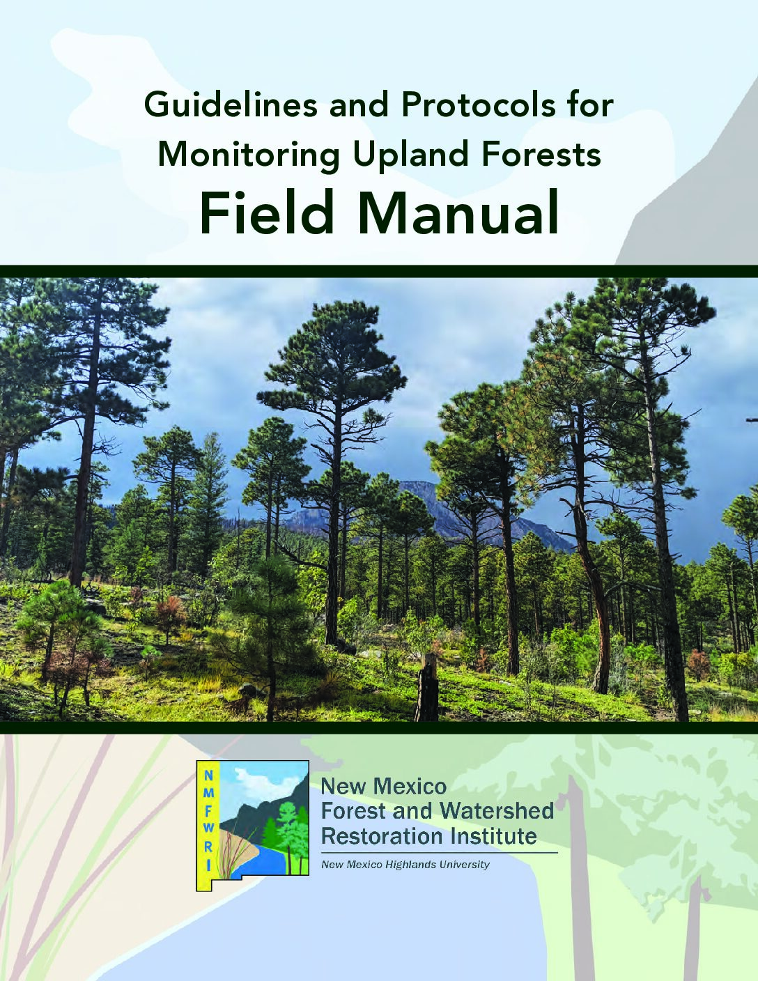
NMFWRI Guidelines and Protocols for Monitoring Upland Forests Field Manual, Version 2
An updated version of the Guidelines and Protocols for Monitoring Upland Forests Field Manual, produced by the Ecological Monitoring team at the New Mexico Forest and Watershed Restoration Institute.

NMFWRI Forest Monitoring Protocols
NMFWRI Forest Monitoring Protocols
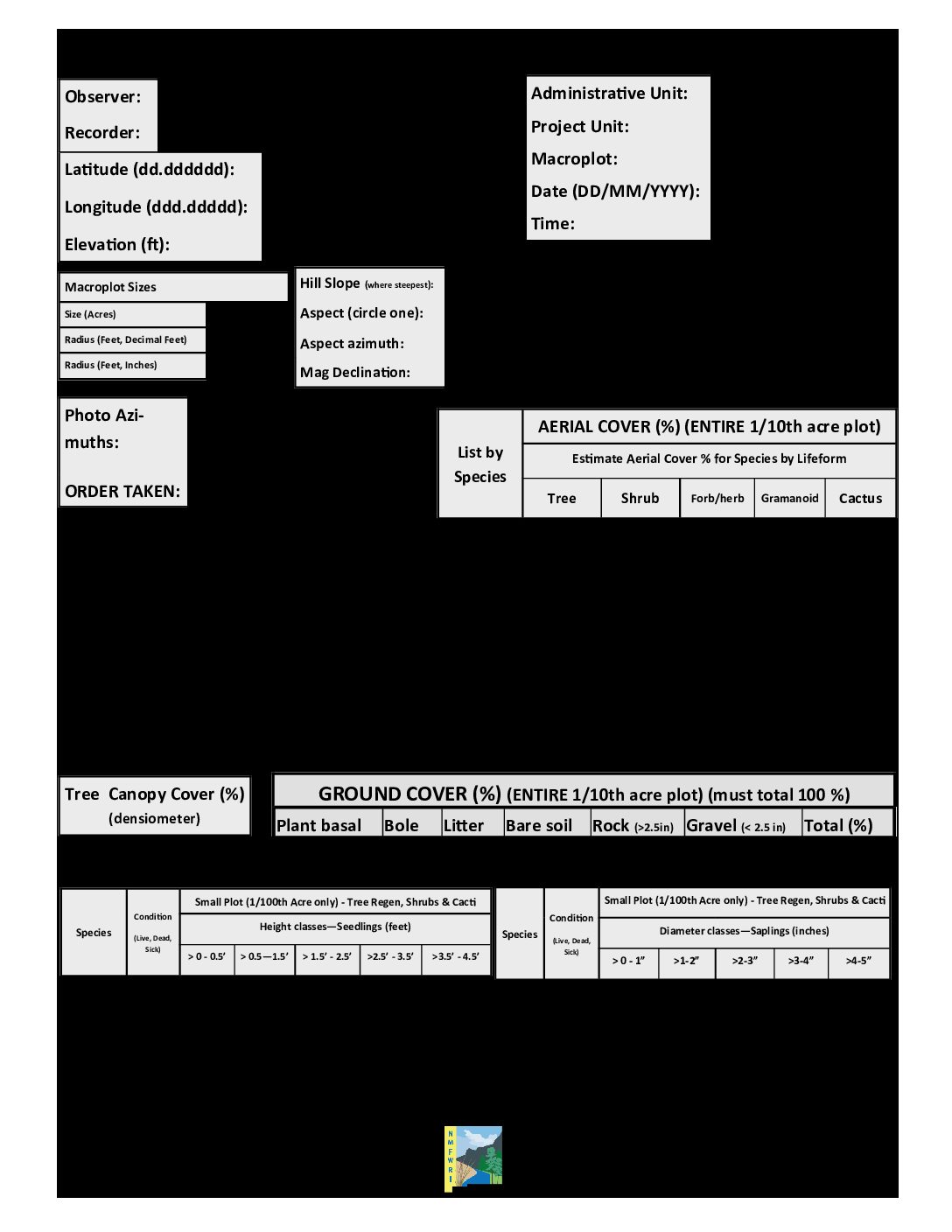
CSE Plot Form – Detailed Blank Data Forms
Field data monitoring form for forest monitoring -with notes