NMFWRI GIS team presents at international conference
The GIS Team made two presentations and won an award at the 2026 Esri User Conference held in San Diego in July.
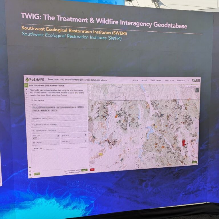
The team was invited to present at the Wildfire Special Interest Group where they spoke about TWIG, the Treatment and Wildfire Interagency Geodatabase, a SWERI project that compiles and displays national fuel treatment and wildfire data to support effective cross-boundary land management. TWIG was accepted into the digital map gallery and was promoted at the event. Read more about the efforts to track wildfire and fuels reduction information at reshapewildfire.org.
The team also presented on the Hermit’s Peak/Calf Canyon Fire Hub site, reflecting on the development and success of the web-based tool and providing guidance on how other communities impacted by wildfire and post-fire floods
could build similar tools. Finally, the team won a Map Gallery award for their map “The Hermit’s Peak/Calf Canyon Fire”, which combines a map and timeline of the HPCC fire with infographics and text to explain the cause and process of the catastrophic fire, as well as the impacts the fire had on the surrounding communities.
The Treatment and Wildfire Interagency Geodatabase (TWIG) was demonstrated at the July 2026 Esri User Conference in San Diego by staff from the NMFWRI GIS team.