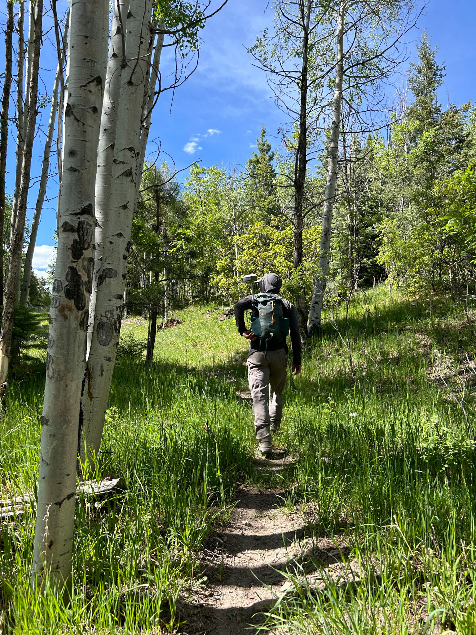
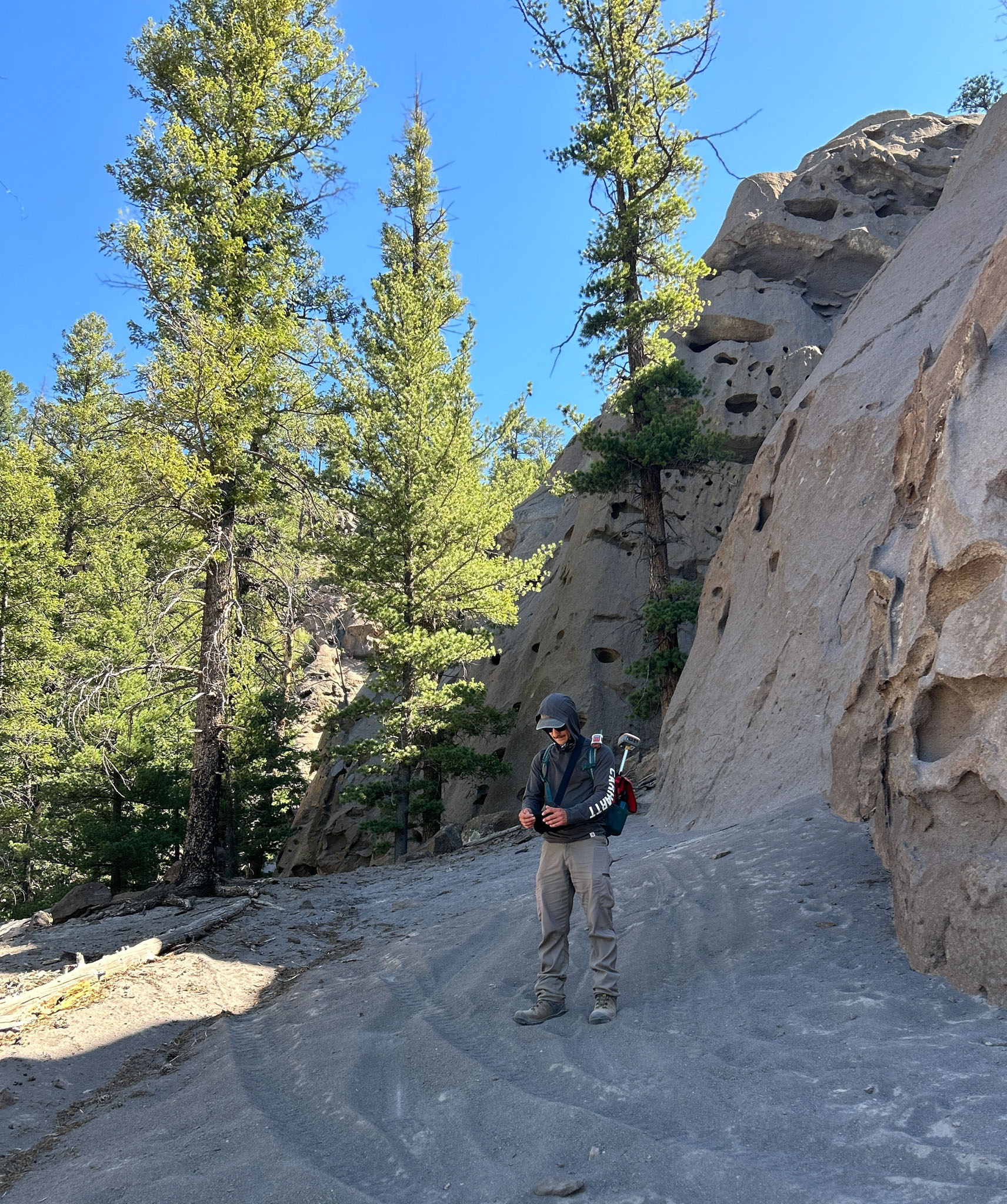
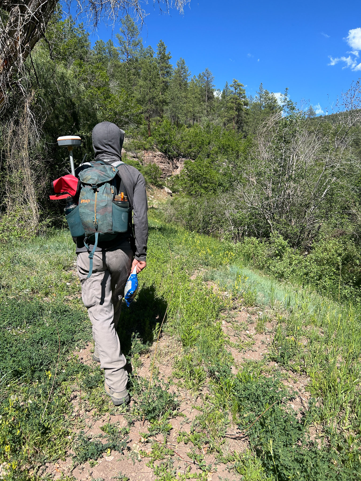
NMFWRI’s ecological monitoring team are continuing work on a project for the U.S. Forest Service, mapping out unofficial trails created by the public in the Jemez National Recreation Area.
In the summer of 2023, the U.S. Forest Service contracted with NMFWRI’s ecological monitoring and GIS teams to map dispersed camping sites. They mapped and inventoried 620 dispersed campsites along 122 miles of USFS roads in the Jemez and Cuba Ranger Districts. They also mapped about 17 miles of user-created roads and trails. They took more than 2,000 photos to document the sites.
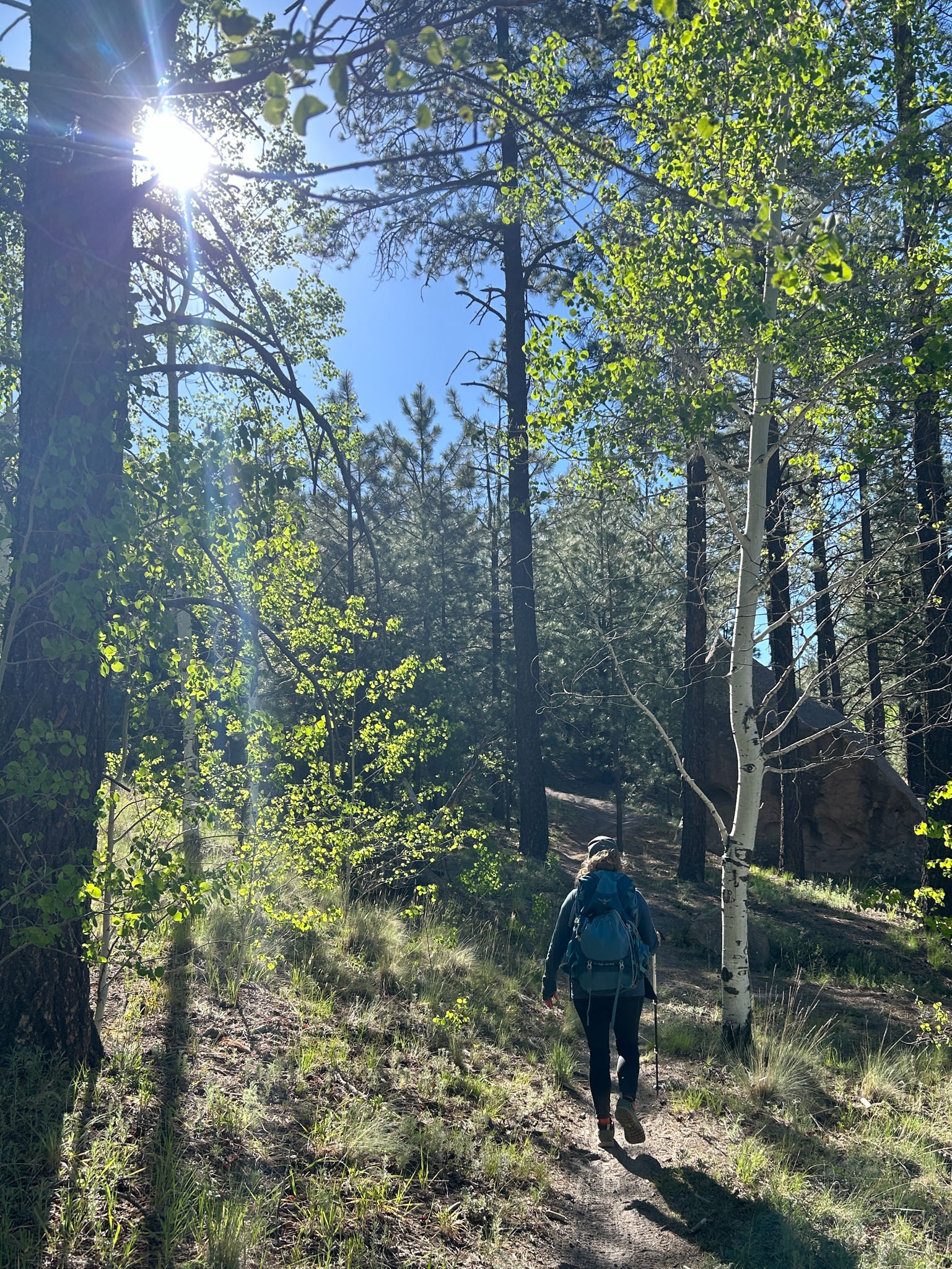
This summer, NMFWRI teams are continuing to walk, measure, photograph, and map unofficial user-created trails in the recreation area for the USFS.