News
NMFWRI GIS team presents at international conference
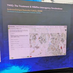
The GIS Team made two presentations and won an award at the 2026 Esri User Conference held in San Diego in July. The team was
The GIS Team made two presentations and won an award at the 2026 Esri User Conference held in San Diego in July. The team was
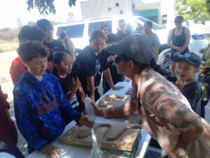
The Conservation Science Center at NMFWRI returned for its 4th year to support Forest Bound on July 9 for a day of restoration ecology. Using
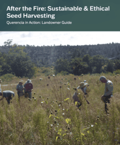
Collecting native seed is one way landowners can support post-fire recovery—but how, when, and where you collect matters. NMFWRI’s new After the Fire: Sustainable & Ethical Seed Harvesting guide provides practical,
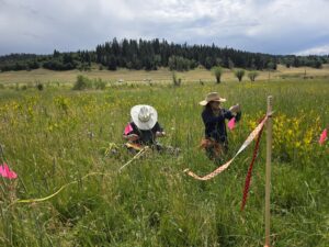
The NMFWRI Ecological Monitoring team spent part of July working on a project in partnership with the New Mexico Department of Wildlife at the Edward
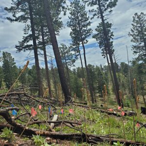
NMFWRI continues to expand its capacity in research and in communicating science with the addition of two new staff. Dr. Andreas Wion was hired as
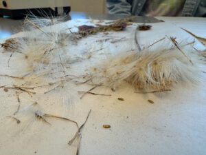
NMFWRI’s ecological monitoring team and colleagues from other programs spent two July days identifying and cataloging plant specimens to add to the Institute’s herbarium. Emily

The story of the devastating 2022 Hermit’s Peak/Calf Canyon wildfire and its aftermath gained renewed interest and an award during the recent Esri User Conference
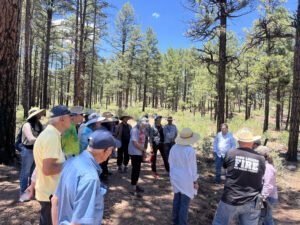
More than a dozen landowners from Mora and San Miguel Counties gathered in Mineral Hill for the Plants as Post-fire Restoration Tools workshop hosted by
By Alejandro Collins, Collaboration Specialist In June, Collaboration Specialist Alejandro Collins attended the 40th annual conference of the International Association for Society and Natural