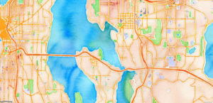
Mapping
Mapping for Collaboration Webinar Series
January – March 2021 Maps are a proven way to bring partners around the table and identify areas and issues of common concern. Everything happens
January – March 2021 Maps are a proven way to bring partners around the table and identify areas and issues of common concern. Everything happens
What is LiDAR? LiDAR stands for Light Detection and Ranging. LiDAR data provides high levels of detail and precision in describing elevation. Products derived from
Web-based GIS modules for virtually exploring and interpreting the Mora watershed using ESRI GIS technology. What is a watershed? I am sure you have heard
Collection of static downloadable PDF maps and posters which can be printed.
Restoration based monitoring of New Mexico’s forest and riparian ecosystems is integral to NMFWRI’s mission. Below are some projects that highlight our work throughout the
www.vegetationtreatments.orgThe NM Vegetation Treatment geodatabase was created by the New Mexico Forest and Watershed Restoration Institute (NMFWRI) for the state’s Forest and Watershed Health Coordinating Group. With your