POSTPONED: 2022 Cross-Boundary Landscape Restoration Workshop
Please note that the March 2022 Cross-Boundary Landscape Restoration Workshop has been POSTPONED. We are very much looking forward to reconvening with you all, and
Please note that the March 2022 Cross-Boundary Landscape Restoration Workshop has been POSTPONED. We are very much looking forward to reconvening with you all, and
Alan Barton, previously the manager of the collaboration program at the New Mexico Forest and Watershed Restoration Institute, stepped into the role of director in October. The
To view our vacancies and apply for open positions at the New Mexico Forest and Watershed Restoration Institute, please visit the New Mexico Highlands University
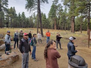
Our Institute, along with our two sister Institute’s, make up the Southwest Ecological Restoration Institute’s (SWERI). We recently held our annual meeting in Flagstaff, Arizona
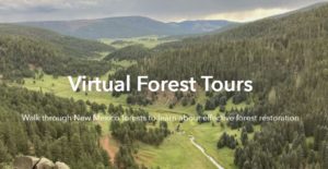
Virtually walk through New Mexico forests to learn about effective forest restoration. What should a forest look like after a restoration project? In an age
The following video is a recording of a webinar held on March 31, 2021. Watch the video to learn how to use the data available
Title of Project:Social Impact Assessment of the Collaborative Forest Restoration Program Location: This research project takes place in the State of New Mexico. Principal Investigator:
Title of Project: Social Impact Assessment of the Collaborative Forest Restoration Program Location: This research project takes place in the State of New Mexico. Principal
January – March 2021 Maps are a proven way to bring partners around the table and identify areas and issues of common concern. Everything happens