GRGWA_map_final
Map of Greater Rio Grande Watershed Alliance projects.

Enchanted Circle Wildfire Crisis Strategy Landscape, Fire History
A 2025 map showing the fire history within the Enchanted Circle Wildfire Crisis Strategy Landscape, one of ten high risk wildfire landscapes designated in the United States.

South Fork and Salt Fire Map
Map of the Salt and South Fork burn scars from 2024 around Ruidoso and Mescalero in Lincoln County, NM.
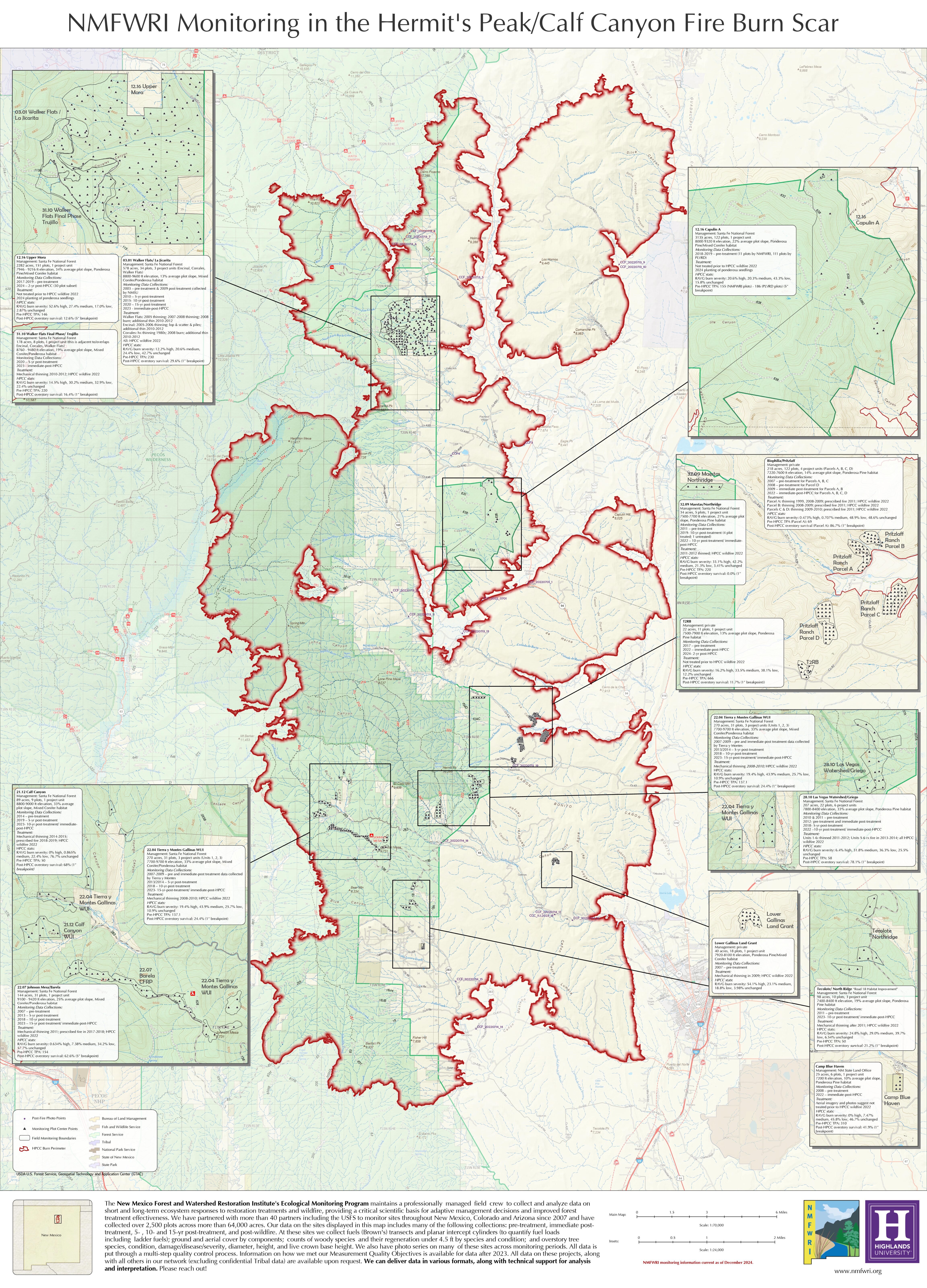

Hermit’s Peak Calf Canyon Post Fire Color Infrared Map- Summer 2022
Hermit’s Peak Calf Canyon Post Fire Color Infrared Map Summer 2022
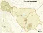
Gallinas Watershed Map
Gallinas Watershed Map by Katie Withnall
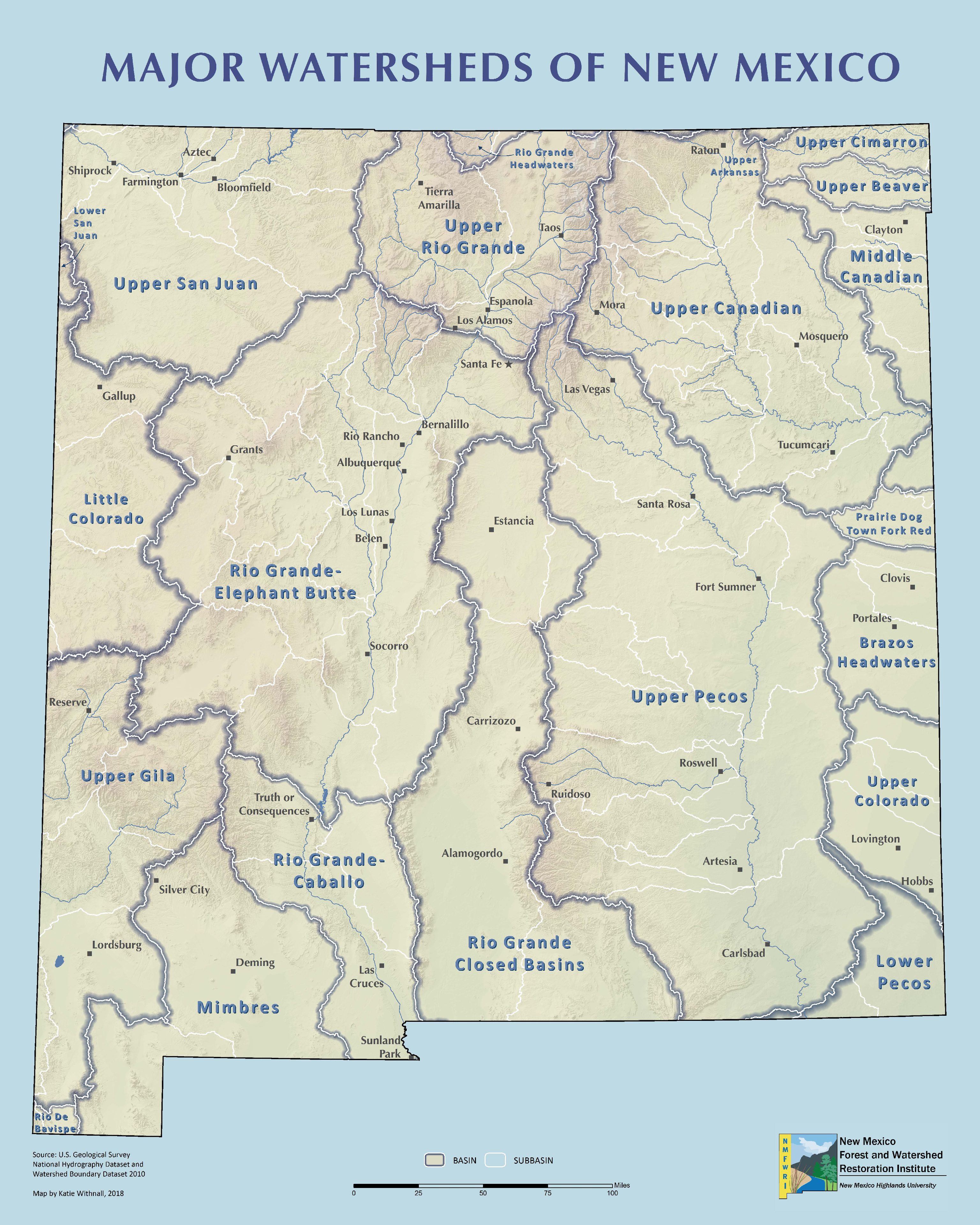
Major Watersheds in New Mexico
New Mexico Watershed Map by Katie Withnall
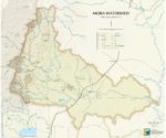
Mora Watershed Map
Mora Watershed Map by Katie Withnall