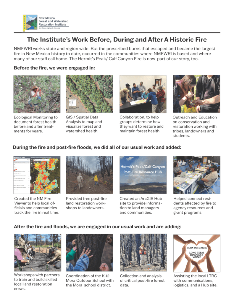
Since 2004, NMFWRI has gathered data on forests and forest health in New Mexico, mapped forest vegetation and helped groups collaborate on restoring their forests and watersheds. The Hermit’s Peak/Calf Canyon Fire and post-fire floods prompted the Institute’s staff to work on new ways to help communities and landscapes after fires while continuing their work on the science behind healthy forests and watersheds.

