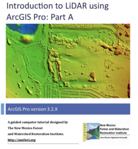
What is LiDAR?
LiDAR stands for Light Detection and Ranging. LiDAR data provides high levels of detail and precision in describing elevation. Products derived from LiDAR include such things as very accurate
elevation models as well as surface height information for such things as building and trees.
In this guided tour you will be using ArcGIS Pro to:
– Import LAS files into an ArcGIS LAS Dataset
– View the LiDAR Point Cloud and change the symbology
– Colorizing the LAS Dataset with Digital Orthophotography
– View in 2D and 3D
– Classify Buildings
– Create LiDAR Products:
a) Bare Earth Digital Earth Model (DEM)
b) Digital Surface Model (DSM)
-Calculate Vegetation Height
-Calculate Canopy Density
-Design a Map
Introduction to LiDAR: Part A and B

LiDAR data needed for tutorial.
