News
250 Years of American Democracy, 50 Years of Dedicated Forest Planning
Alan Barton, NMFWRI Director 2026 marks a milestone in the history of the United States, as we celebrate 250 years as an independent nation.
Alan Barton, NMFWRI Director 2026 marks a milestone in the history of the United States, as we celebrate 250 years as an independent nation.
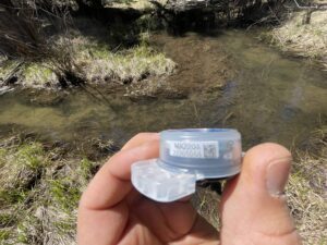
Along New Mexico streams and rivers, professionals use a variety of low-tech structures to reduce erosion, restore stream banks, and help spread streamflow across the
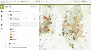
The Treatment and Wildfire Interagency Geodatabase (TWIG), a mapping application developed by the Southwest Ecological Restoration Institute’s ReSHAPE Program, has received the Interactive Ingenuity award
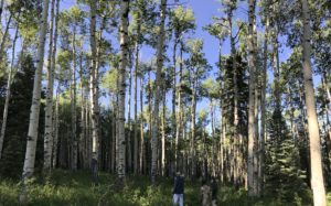
This summer, the Ecological Monitoring Program is excited to welcome several new team members based in Las Vegas. Joan Kuyo, Matthew Najera, and Mitchell Dennington
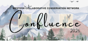
In late May, the NMFWRI Collaboration Program attended Confluence 2026, hosted by the Western Collaborative Conservation Network (WCCN) and co-convened by Crowd Conservation, Trees, Water &
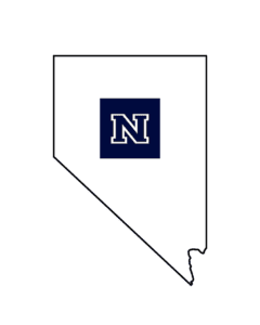
Dr. Alan Barton NMFWRI Director NMFWRI welcomes the Nevada Forest & Woodland Restoration Institute (NFWRI), located at the University of Nevada, Reno (UNR), to
The Southwest Ecological Restoration Institutes ReSHAPE Program Compiling and displaying existing information on fuel treatment projects and wildfires at the national level. Coordinating and facilitating
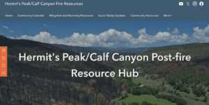
The Hermit’s Peak/Calf Canyon (HPCC) Post-Fire Resource Hub shares critical and timely data with the public and impacted communities, and hosts restricted maps and data
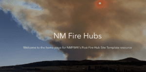
NMFWRI has built a NM Fire Hub template that is quick to set up and share critical fire and post-fire information with impacted communities and