The NMFWRI Unmanned Aerial Systems (UAS) Team was formed in 2018 to help bring high-end, mapping-grade UAS technology to the region.
We work to with our vegetation monitoring team to capture vegetation changes on the landscape. In addition, we work with non-profits and private landowners to help with environmental management and decision making.
Our drone operators hold FAA Remote Pilot (UAS) licenses.
Our Drones
Sensefly eBeeX
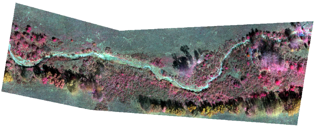
Our fixed wing mapping drone, the Sensefly eBee X is capable of flight time up to 90 minutes (covering up to 1235 acres in a single flight) and absolute accuracy of down to 3cm, without GCPs. It is compatible with multiple cameras; NMFWRI currently has two cameras for the eBee X, the S.O.D.A. 3D and MicaSense RedEdge. To read more about this drone and its cameras visit www.sensefly.com.
DJI Mavic Pro 2
The DJI Mavic 2 Pro is the best small drone on the market, with superior image and video quality, obstacle avoidance, and excellent battery life. We use this drone to collect video and in education and outreach efforts. To learn more about this drone visit www.dji.com.
Projects
- Fort Union Ranch Alluvial Fan
- Pritzlaff Ranch
- Gadii’ahi Site