News
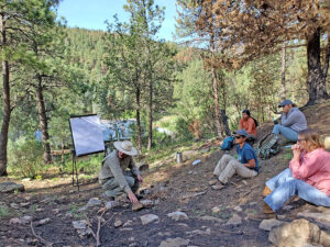
Institute hosts QIA: Living with Fire workshop
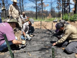
Fall and winter are great times to reduce wildfire risks to homes and properties. The New Mexico Forest and Watershed Restoration Institute and partners are
Fall and winter are great times to reduce wildfire risks to homes and properties. The New Mexico Forest and Watershed Restoration Institute and partners are
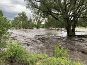
An interactive public map showing USGS stream gauges and post-fire flood zones can help people track potential risks from floods this summer in the communities
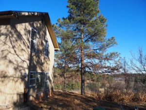
Wildfires are getting bigger across the intermountain West of the United States. More homes and structures are in harms way. But there are many things
Since 2004, NMFWRI has gathered data on forests and forest health in New Mexico, mapped forest vegetation and helped groups collaborate on restoring their forests
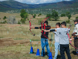
More than 150 students from five Northern New Mexico high schools learned about archery, water quality and forest fires from natural resource professionals last week
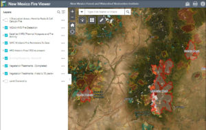
The New Mexico Fire Viewer is an easy-to-use web map that shows active and past fires in the state. The interactive map was built by Patti Dappen, the Geographic Information Systems program manager at the New Mexico Forest and Watershed Restoration Institute. The