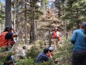
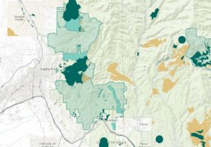
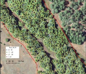
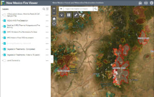
Tag: GIS

news

Institute seeks GIS Coordinator

NMFWRI is seeking a Geographic Information Systems (GIS) Coordinatorwith a focus on developing forestry and wildfire mapping applications.This position will support NMFWRI and our partners

Read More »
New Mexico Fire Viewer
news

New Mexico Fire Viewer layers vital information

The New Mexico Fire Viewer is an easy-to-use web map that shows active and past fires in the state. The interactive map was built by Patti Dappen, the Geographic Information Systems program manager at the New Mexico Forest and Watershed Restoration Institute. The

Read More »
Blanco Basin Trees
gis-projects

Intro to LIDAR in ArcPro

What is LiDAR? LiDAR stands for Light Detection and Ranging. LiDAR data provides high levels of detail and precision in describing elevation. Products derived from

Read More »