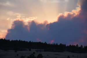
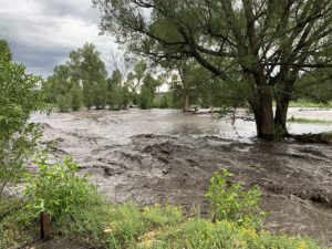
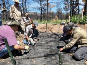
News
Tracking and tackling floods after fires
An interactive public map showing USGS stream gauges and post-fire flood zones can help people track potential risks from floods this summer in the communities
After the Hermit’s Peak/Calf Canyon Fire of 2022 burned through 340,000 acres and the communities near New Mexico Highlands University, the home-base of the Forest
Wildfires are getting bigger across the intermountain West of the United States. More homes and structures are in harms way. But there are many things
Series of six open houses aimed at helping those who are still recovering from the Hermit’s Peak/Calf Canyon Fire prepare for the next fire and