
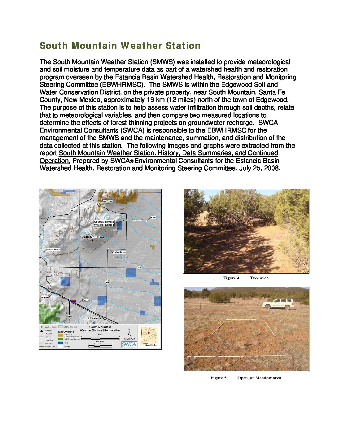
The South Mountain Weather Station (SMWS) was installed to provide meteorological and soil moisture and temperature data as part of a watershed health and restoration program overseen by the Estancia Basin Watershed Health, Restoration and Monitoring Steering Committee (EBWHRMSC). The SMWS is within the Edgewood Soil and Water Conservation District, on the private property, near South Mountain, Santa Fe County, New Mexico, approximately 19 km (12 miles) north of the town of Edgewood. The purpose of this station is to help assess water infiltration through soil depths, relate that to meteorological variables, and then compare two measured locations to determine the effects of forest thinning projects on groundwater recharge. SWCA Environmental Consultants (SWCA) is responsible to the EBWHRMSC for the management of the SMWS and the maintenance, summation, and distribution of the data collected at this station. The following images and graphs were extracted from the report South Mountain Weather Station: History, Data Summaries, and Continued Operation, Prepared by SWCA® Environmental Consultants for the Estancia Basin Watershed Health, Restoration and Monitoring Steering Committee, July 25, 2008.
For more information and for monitoring reports and data, go to http://allaboutwatersheds.org/groups/estancia-basin/monitoring/quarterly-reports/folder_contents
Resources
South Mountain Weather Station: History, Data Summaries, and Continued Operation
South Mountain Weather Station Highlights
The South Mountain Weather Station (SMWS) was installed to provide meteorological and soil moisture and temperature data as part of a watershed health and restoration program overseen by the Estancia Basin Watershed Health, Restoration and Monitoring Steering Committee (EBWHRMSC). The SMWS is within the Edgewood Soil and Water Conservation District, on the private property, near South Mountain, Santa Fe County, New Mexico, approximately 19 km (12 miles) north of the town of Edgewood. The purpose of this station is to help assess water infiltration through soil depths, relate that to meteorological variables, and then compare two measured locations to determine the effects of forest thinning projects on groundwater recharge.