Chipping vs. mulching
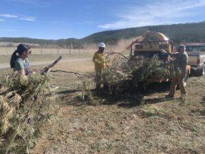
What’s the difference between chipping and mulching? Collaboration technician Alejandro Collins did a deep dive into the ins and outs of both and some research

What’s the difference between chipping and mulching? Collaboration technician Alejandro Collins did a deep dive into the ins and outs of both and some research
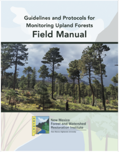
Gathering data about forest conditions is crucial for understanding whether or not treatments work. But how does one set up a plot, what are the
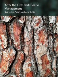
Bark beetles can be highly active during times of drought and after wildfires, going after weakened trees. This guide shows you how to recognize the
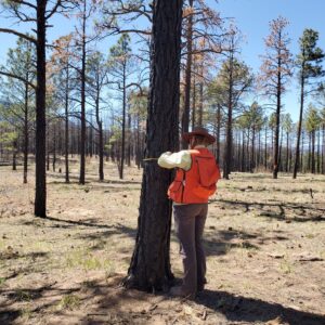
Ecological Monitoring crews prep for summer season Ecological monitoring staff took part in a Wilderness First Aid class on the campus of New Mexico Highlands
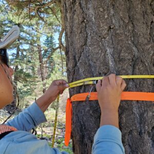
Ecological monitoring data provides the scientific basis for restoration treatments, such as thinning and prescribed burns, and is critical for adaptive management. Professionally collected and
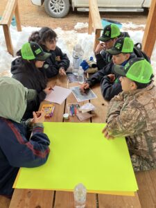
High school teams from Las Vegas, Taos, Peñasco, and Mesa Vista learned about soils, wildlife biology, renewable energy, forestry, and more during the Northern New
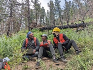
Learn important outdoor skills and help gather data about forest health.
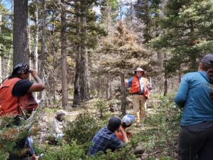
Help collect important data on forest ecosystems while camping in beautiful places around New Mexico.
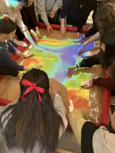
Students at the United World College near Las Vegas, NM and International Baccalaureate schools from New Mexico learned about wildfire management, impacts and post-fire response during a presentation in