gis-projects
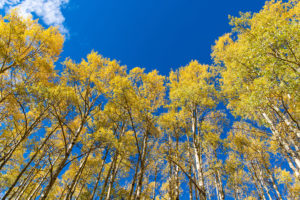
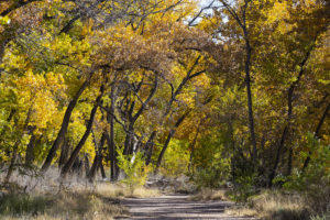
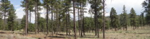
Mapping 100 years of vegetation treatment
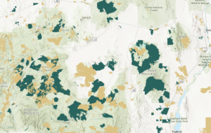
NMFWRI publishes paper on Vegetation Treatment Database A team from the New Mexico Forest and Watershed Restoration Institute has built an extensive geospatial database of

NMFWRI publishes paper on Vegetation Treatment Database A team from the New Mexico Forest and Watershed Restoration Institute has built an extensive geospatial database of
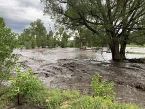
An interactive public map showing USGS stream gauges and post-fire flood zones can help people track potential risks from floods this summer in the communities
The New Mexico Fire Viewer is an easy-to-use, free web map showing active and past fires in the state. To view the NM Fire Viewer
The following video is a recording of a webinar held on March 31, 2021. Watch the video to learn how to use the data available
What is LiDAR? LiDAR stands for Light Detection and Ranging. LiDAR data provides high levels of detail and precision in describing elevation. Products derived from
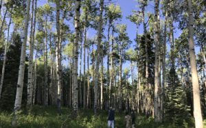
Web-based GIS modules for virtually exploring and interpreting the Mora watershed using ESRI GIS technology. What is a watershed? I am sure you have heard
Collection of static downloadable PDF maps and posters which can be printed.